Save as PDF
Washington State Recreation and Conservation Office
Project Snapshot
PRISM Project #00-1736 (Completed)
Key Peninsula Nearshore Sal. Hab. Assess
    Project Details    
Pierce County Planning; Key Peninsula Nearshore Sal. Hab. Assess (#00-1736)

Attachment #31685, 14.09_000923_120128_lg
Pierce County Planning; Key Peninsula Nearshore Sal. Hab. Assess (#00-1736) Attachment #31685, 14.09_000923_120128_lg

Pierce County Planning; Key Peninsula Nearshore Sal. Hab. Assess (#00-1736)

Attachment #31685, 14.09_000923_120128_lg
Project Status:  Closed Completed since 07/15/2003
 
Project Type:  Planning
Project Sponsor:  Pierce County Planning and Public Works SWM
Funding Board:  Salmon Recovery Funding Board
              Funding  
Salmon Federal Projects: $178,500
Total RCO Grant: $178,500 (85%)
Sponsor Match: $31,500 (15%)
Total Agreement: $210,000 (100%)
              Links
 

    Project Description    
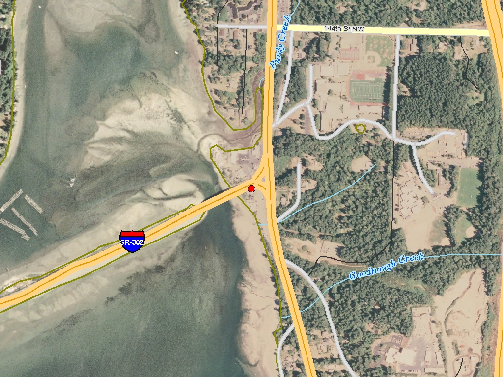
This project will conduct a spatially explicit nearshore salmon habitat assessment for approximately 145 miles of marine shoreline in Pierce County west of the Tacoma Narrows. The goal of the this work is to characterize and map nearshore habitat features and impediments in the study area, and to identify high-quality habitats that should be considered for protection and impaired habitats that should be considered for restoration. The study area includes the shorelines of Key, Gig Harbor, and Long Beach peninsulas, as well as Fox and Anderson islands, referred to collectively as the KGI area.

    Project Contacts    
         
Project Sponsor: Pierce County Planning and Public Works SWM Lead Entity: West Sound Partners for Ecosystem Recovery
  Project Contact: David Renstrom


Funding Agency: Recreation and Conservation Office    
  Project Manager: Bridget Kaminski
bridget.kaminski@rco.wa.gov
(360) 472-5546
   

    Project Location    
General Area:   144 miles of shoreline on Key and Gig Harbor Peninsulas, and Fox and Anderson Islands.
Waterbody:   Unnamed
County:   Pierce
Legislative District:   26
Congressional District 2022:   06
Salmon Recovery Regions:   Puget Sound
Watershed Administrative Unit:   Chambers-Clover
Watershed Administrative Unit:   Clovos Passage/Carr Inlet
HUC8:   Puget Sound (17110019)
WRIA:   Chambers - Clover
WRIA:   Kitsap
Sections:   24
Sections:   43
Township:   T20NR02E
Township:   T22NR01E
Coordinates:   47.38429442
-122.62673678

    Worksites    
Worksite NameScope of WorkActual Planning Cost
Key Peninsula Nearshore Assessment (#1) Conducting habitat restoration scoping and feasibility studies (B.1.b.8) $211,946
 Total$211,946
Amounts may not be complete

    Project Metrics (Outcomes, Benefits)    
 Category / Work Type / MetricFinal

Restoration Metrics (rolled up from Worksite level)

      
Area Encompassed (acres) (B.0.b.1) 100.0

    Project Milestones    
Milestone NameTarget DateDescription
RFP Complete 10/15/2001
Bid Awarded/Consultant Hired 10/30/2001
Project Start 01/01/2002
Data Gathering Started 01/01/2002
Draft Rpt Reviewed by Mgmt Agy 04/01/2002 Phase 1 draft report with phase 2 roadmap
Draft Rpt Reviewed by Mgmt Agy 02/28/2003 Phase 2 draft report
Final Report Completed 04/30/2003
Agreement End Date 06/30/2003
Final Docs/Billing to Mgmt Agy 07/31/2003


    Project Attachments    
Attachment TypeAttachment TitleAttach Date
Correspondence Data CD for Pierce County.pdf 05/03/2006
Correspondence KGI Habitat Assess Final Report.pdf 05/03/2006
Photo 9.11_boats.jpg 05/03/2006
Photo 9.11_BH.jpg 05/03/2006
Photo 8.16_tires.jpg 05/03/2006
Photo 8.16_drums.jpg 05/03/2006
Photo 8.10b.jpg 05/03/2006
Photo 8.10a.jpg 05/03/2006
Photo 7.12_riprap3.jpg 05/03/2006
Photo 7.12_riprap2.jpg 05/03/2006
Photo 7.12_riprap1.jpg 05/03/2006
Photo 7.12_riprap_merge.jpg 05/03/2006
Photo 6.17.jpg 05/03/2006
Photo 6.15_woodBH.jpg 05/03/2006
Photo 6.14_float.jpg 05/03/2006
Photo 5.10_relicstructure.jpg 05/03/2006
Photo 2.07_000817_145406_lg.jpg 05/03/2006
Photo 14.09_dike.jpg 05/03/2006
Photo 14.09_AndMarsh_merge.jpg 05/03/2006
Photo 14.09_000923_120128_lg.jpg 05/03/2006
Photo 13.31_ferrydock.jpg 05/03/2006
Photo 13.15_failingbulkhead.jpg 05/03/2006
Photo 12.4_barrier.jpg 05/03/2006
Photo 12.04_barrier.jpg 05/03/2006
Photo 11.18_tidegate.jpg 05/03/2006
Photo 11.17-comp_photo.jpg 05/03/2006
Photo 1.3_concretevaults.jpg 05/03/2006

Back to top Date of last change: 10/04/2023