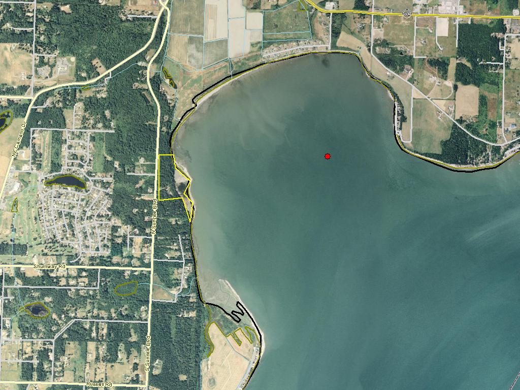
Livingston Bay Nearshore Acquisition 05

06/09/2006, Attachment #33859, Livingston Bay at low tide")
|
Whidbey Camano Land Trust; Livingston Bay Nearshore Acquisition 05 (#05-1479)
06/09/2006, Attachment #33859, Livingston Bay at low tide
|
|
|
|
|
This project will acquire and protect high quality estuarine, nearshore habitat in Livingston Bay, located in the western portion of Port Susan Bay, Island County. It includes over 3,160 acres of tidelands (Riviera), a 7 acre pocket estuary (Nelson), and a 2.43 acre upland marine forested feeder bluff (Nelson). The Nelson property is 43.28 acres and has been prorated across three grants (05-1479 - 9.43 acres; 07-1009 - 26.77 acres; 09-1479 - 7.08 acres). The project area is identified in the WRIA 6 Salmon Recovery Plan as a top protection priority.
The grant will permanently protect extensive nearshore habitat, which provides the greatest number of functions to the greatest number of salmon and trout stocks and their life history stages. The tidelands are utilized by juveniles and adults, and are particularly important for Chinook fry migrants during their first days of nearshore migration from the nearby Stillaguamish River. It will protect a critically important spawning area for forage fish, including sand lance and surf smelt. The shoreline is identified as a primary pathway for migrating bull trout. Protection of this type of high quality nearshore habitat will be needed if salmon recovery is to be successful.
This project presents a rare opportunity to put nearly over 7,000 acres of contiguous and highly functional tidelands in protected status. Adjacent lands protected for fish and wildlife habitat include 4,000 acres of tidelands owned and protected by The Nature Conservancy, WDFW's 315-acre Leque Island, and the 120-acre Iverson Spit conservation area and associated tidelands protected by Island County.
|
|
General Area:
|
|
Livingston Bay off of Camano Island and near Juniper Beach community, south of Hwy 532.
|
|
Waterbody:
|
|
Livingston Bay, Puget Sound/Pacific Ocean
|
|
County:
|
|
Island
|
|
Legislative District:
|
|
10
|
|
Congressional District 2022:
|
|
02
|
|
Salmon Recovery Regions:
|
|
Puget Sound
|
|
Watershed Administrative Unit:
|
|
Camano Island
|
|
HUC8:
|
|
Puget Sound (17110019)
|
|
WRIA:
|
|
Island
|
|
Sections:
|
|
05
|
|
Township:
|
|
T31NR03E
|
|
Coordinates:
|
|
48.22737774
-122.43370713
|
|
|
| Worksite Name | Scope of Work |
|
Livingston Bay, Camano Island (#1)
|
Administrative costs (Acq), Easement, Fencing (Acq), Land, Noxious weed control, Standard Incidentals
|
| | |
Amounts may not be complete
| Worksite Name | | Property Name | | Actual Acquisition
Acres | Actual Acquisition
Cost |
|
Livingston Bay, Camano Island (#1)
|
|
Property 1 - Private Landowner
|
|
3,160.00
|
$416,991
|
|
Livingston Bay, Camano Island (#1)
|
|
Property 2 - Private Landowner
|
|
9.43
|
$2,250,000
|
| | | | Total | 3,169.43 | $2,666,991 |
Amounts may not be complete
| Milestone Name | Target Date | Description |
|
Project Start
|
01/06/2006
|
|
|
Order Appraisal Review(s)
|
04/30/2006
|
|
|
Survey Complete
|
06/15/2006
|
Not boundary survey, but acerage calculation
|
|
Environmental Clearance Rec'd
|
08/15/2006
|
|
|
Baseline Docum. Complete
|
08/15/2006
|
Baseline documentaion required for conservation easement (Identified in project budget)
|
|
Purchase Agreement Signed
|
09/01/2006
|
|
|
Acquisition Closing
|
11/01/2006
|
|
|
Recorded Documents to Mgmt Agy
|
12/01/2006
|
|
|
Annual Project Billing Due
|
07/31/2008
|
|
|
Proposed Completion Date
|
06/30/2009
|
|
|
Annual Project Billing Due
|
07/31/2009
|
|
|
Agreement End Date
|
08/31/2009
|
|
|
Final Docs/Billing to Mgmt Agy
|
10/31/2009
|
|