Skagit Bay Nearshore Protection

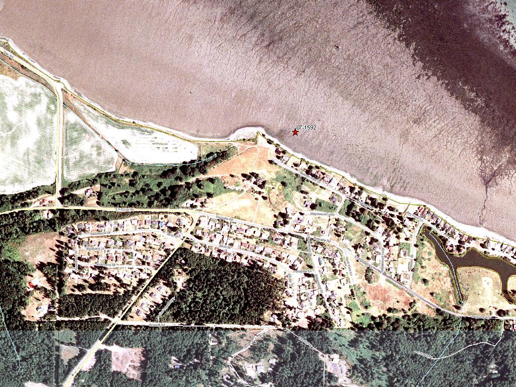
Attachment #395666, 07-1592 - on site")
|
Whidbey Camano Land Trust; Skagit Bay Nearshore Protection (#07-1592)
Attachment #395666, 07-1592 - on site
|
|
|
|
|
|
Whidbey Camano Land Trust will acquire 43 acres and approximately 40 acres (2,500+ feet) of Skagit Bay tidelands. This project is in Tier 1, identified in the WRIA 6 Salmon Recovery Plan as the highest priority area for protection and restoration. The project purpose is to protect nearshore processes and habitats beneficial to juvenile and adult salmon. The nearshore habitat provides the greatest number of functions to the greatest number of salmon and trout stocks and life history stages in WRIA 6. A primary project goal is to protect degraded habitat (diked land on Skagit Bay) from development with the future goal to restore habitat for salmon by taking out roads, dikes, and restoring habitat functions. The nearshore is a high protection priority for juvenile salmon and forage fish. It is within an ebb tide (day’s migration) from the Skagit River Delta. Its location near the mouth of the North Fork Skagit River is particularly important as it is part of a distributory pathway where density dependent migration of fry migrant Chinook salmon is the highest within the Skagit tidal delta (Beamer et al 2005). The project is adjacent to continuous eelgrass beds and nearshore that are priority herring and smelt spawning areas. The project, with 4,000+ feet on Skagit Bay are next to 4,000+ feet of Island County-owned tidelands. The property is for sale and development is imminent, thus the future potential for salmon habitat restoration would be lost if the site is not acquired.
|
|
General Area:
|
|
Island County, Skagit Bay
|
|
Waterbody:
|
|
Puget Sound
|
|
County:
|
|
Island
|
|
Legislative District:
|
|
10
|
|
Congressional District 2022:
|
|
02
|
|
Salmon Recovery Regions:
|
|
Puget Sound
|
|
Watershed Administrative Unit:
|
|
Whidbey Island
|
|
HUC8:
|
|
Puget Sound (17110019)
|
|
WRIA:
|
|
Island
|
|
Sections:
|
|
17
|
|
Township:
|
|
T33NR02E
|
|
Coordinates:
|
|
48.35271542
-122.58338749
|
|
Coordinates:
|
|
48.35345634
-122.58234433
|
|
|
| Worksite Name | Scope of Work |
|
Skagit Bay - Ducken (#1)
|
Administrative costs (Acq), Easement, Land, Noxious weed control, Signs (Acq), Standard Incidentals, Stewardship plan, Survey (Acq)
|
| | |
Amounts may not be complete
| Worksite Name | | Property Name | | Actual Acquisition
Acres | Actual Acquisition
Cost |
|
Skagit Bay - Ducken (#1)
|
|
Property 1 - Private Landowner
|
|
40.00
|
$1,524,750
|
|
Skagit Bay - Ducken (#1)
|
|
Property 2 - Private Landowner
|
|
44.00
|
$18,398
|
|
Skagit Bay - Ducken (#1)
|
|
Property 3 - Private Landowner
|
|
0.00
|
$0
|
| | | | Total | 84.00 | $1,543,148 |
Amounts may not be complete
| Milestone Name | Target Date | Description |
|
Project Start
|
12/13/2007
|
|
|
Order Appraisal Review(s)
|
03/31/2008
|
|
|
Annual Project Billing Due
|
07/31/2008
|
|
|
Purchase Agreement Signed
|
03/31/2009
|
|
|
Environmental Clearance Rec'd
|
07/31/2009
|
|
|
Baseline Docum. Complete
|
07/31/2009
|
|
|
Survey Complete
|
07/31/2009
|
|
|
Annual Project Billing Due
|
07/31/2009
|
|
|
Acquisition Closing
|
09/14/2009
|
|
|
Recorded Documents to Mgmt Agy
|
09/30/2009
|
|
|
Fencing Complete
|
10/31/2009
|
|
|
Noxious Weed Control Complete
|
10/31/2009
|
|
|
Proposed Completion Date
|
12/31/2009
|
|
|
Annual Project Billing Due
|
07/31/2010
|
|
|
Annual Project Billing Due
|
07/31/2011
|
|
|
Special Conditions Met
|
06/15/2012
|
|
|
Final Docs/Billing to Mgmt Agy
|
09/30/2012
|
|
|
Agreement End Date
|
06/30/2013
|
|