E. Kitsap Steelhead Water Type Assessment
|
State and local governments protect streams and riparian habitats from land-use impacts by requiring streamside buffers determined by each stream reaches' classification, or water type. The state's existing modeled regulatory water type maps are inaccurate, with many streams mapped incorrectly or not at all. Consequently, streams that warrant protection under existing state and local gov't regulations (critical areas ordinances, forest practices regulations, HPAs, etc.) may not receive appropriate buffers. Unreliable and inaccurate watershed maps compromise West Sound habitat protection and restoration planning efforts. Using state-sanctioned methods, Wild Fish Conservancy (WFC) will groundtruth and correct water type in 44 square miles of watersheds identified as Tier 1 and 2 priorities in the Suquamish Tribe's E. Kitsap DIP Steelhead Recovery Plan (2020). WFC will perform fieldwork to accurately map and classify streams prioritized for ESA-listed steelhead recovery. In addition to providing data to enable informed and responsible riparian protection in these watersheds, we will submit water type modification forms to WDNR and generate species-specific distribution data for WDFW's statewide integrated fish distribution dataset. WFC will identify habitat restoration opportunities, and incorporate assessment results in a web-based interactive GIS available to resource managers and the general public. This project complements previous WFC West Sound water type assessments.
|
|
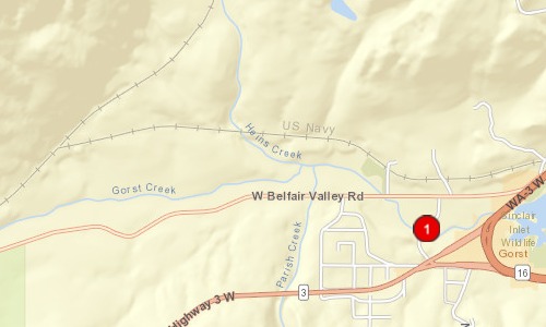
County:
|
|
Kitsap
|
|
Legislative District:
|
|
26
|
|
Congressional District 2022:
|
|
06
|
|
Salmon Recovery Regions:
|
|
Puget Sound
|
|
Watershed Administrative Unit:
|
|
S Sinclair Inlet
|
|
HUC8:
|
|
Puget Sound (17110019)
|
|
WRIA:
|
|
Kitsap
|
|
Sections:
|
|
32
|
|
Township:
|
|
T24NR01E
|
|
Coordinates:
|
|
47.52731241
-122.70469998
|
|
|
Amounts may not be complete
| | Category / Work Type / Metric | Estimated |
Restoration Metrics (rolled up from Worksite level) |
|
| |
|
|
Area Encompassed (acres) (B.0.b.1)
|
28000.0
|
Salmonid Habitat Assessment / Inventory |
| Habitat surveys (B.2.d) |
|
|
Acres of habitat assessed (B.2.d.2)
|
28000.0
|
|
| |
|
|
Miles of Stream and/or Shoreline Affected (B.0.b.2)
|
134.00
|
| Permit Type | Applied
Date | Received
Date | Expiration
Date | Permit Number |
|
Other Required Permits
|
09/13/2023
|
04/22/2023
|
12/31/2028
|
Permit 18331-3R
|
|
Other Required Permits
|
01/24/2024
|
03/04/2024
|
03/04/2025
|
Permit 24-043
|